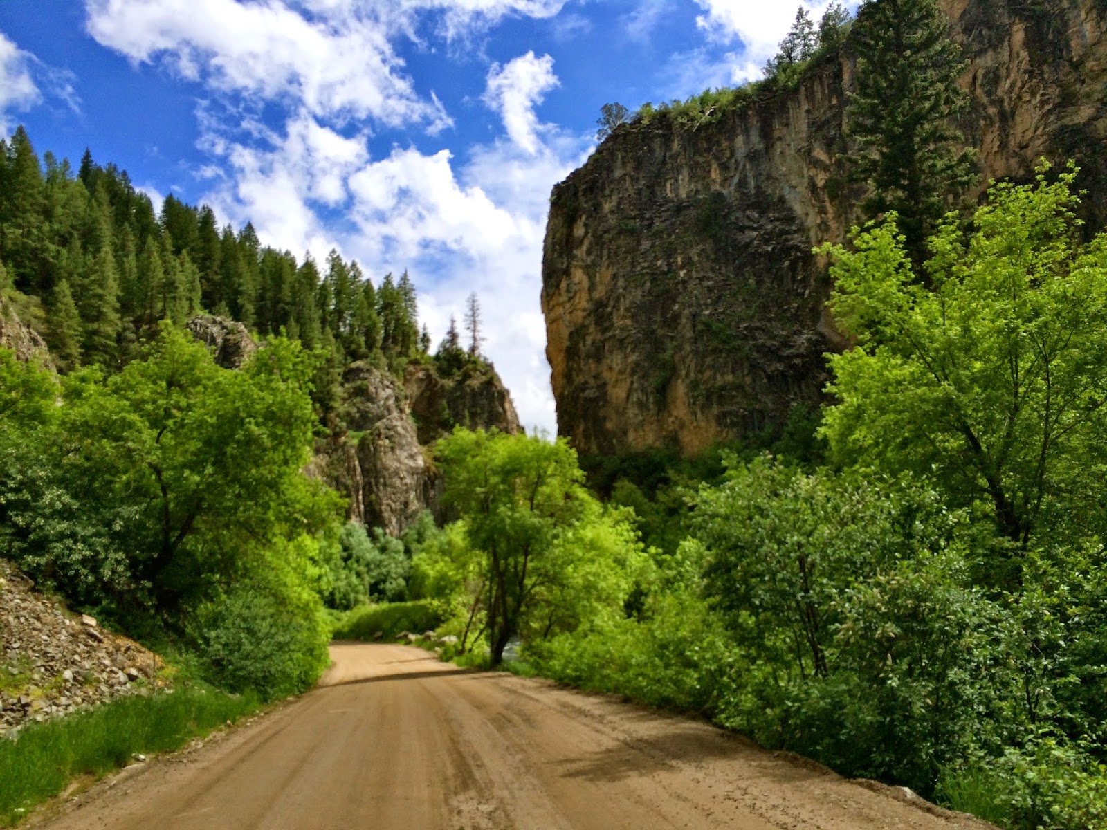
After spending the night in Fort Collins, I headed west again towards Dinosaur National Monument, a remote stretch of deep canyons and dusty dinosaur bones, straddling the border between Colorado and Utah.
My first stop on Thursday afternoon was the the monument's Canyon Area on the Colorado side. I first took the Harpers Corner Drive, stopping at a number of spots to look out over the landscape gashed and contorted by the Green and Yampa Rivers, then drove down into the canyons to Steamboat Rock near the confluence of the two rivers.
I camped that night across the Utah state line at the Green River campground then hiked the Hog Canyon and Desert Voices trails the next morning through the colorful desert terrain and visited the Dinosaur Quarry, an ancient bend in the river where dinosaur bones accumulated over millennia.
Friday, July 11, 2014
Wednesday, July 9, 2014
Chasm Lake
My first hike ever in Rocky Mountain National Park took me partway up Longs Peak to jaw-dropping Chasm Lake. The trail begins below the tree line then steadily gains elevation, switchbacking above it. Pleated granite formations rise above snowfields on the approach to the icy lake, which was still mostly frozen over. Distant mountain peaks of the continental divide are all that puncture the isolation.
Before leaving the park, a ranger led a short tour to see a small patch of Calypso Orchids growing wild in the alpine forest. Tiny, delicate, and colorful, the flowers' beauty on a microscopic scale nearly matched the grandness of the mountains.
Day in Denver
I spent June 10 in Denver, where I interviewed for a job then camped that evening in Golden Gate Canyon State Park, about an hour outside the city.
Tuesday, July 1, 2014
Hanging Lake
On Monday, June 9 as I drove towards Denver for a job interview there the next day, I took a break from the break from the highway to hike a quick, challenging, and beautiful trail to the even more beautiful Hanging Lake. Framed by multiple waterfalls, this idyllic pond high above the Colorado River is tucked away inside the gargantuan walls of Glenwood Canyon. The short three mile length and location just outside tourist-friendly Glenwood Springs makes for crowds, but the payoff outweighs the hassle of busy trail.
Rifle Gap and Rifle Falls State Parks
After Grand Junction, I camped for a night at Rifle Gap State Park, a reservoir situated at a break in the mountains just north of Rifle, Colorado. A little further north is the pretty though partially man-made triple waterfall known as Rifle Falls.
Colorado National Monument
The arid Westernmost portion of Colorado looks nothing like the mountainous central part of the state. It looks a lot more like the rock mazes of southern Utah. Grand Junction, though relatively small, is the population center of the region and just a few miles away from Colorado National Monument. It sits in a deep valley between the Monument's stunning vertical face to the south and the slightly less steep Book Cliffs to the north.
Yawning sandstone canyons streaked with white, tan, and orange striations dominate the landscape of Colorado National Monument. It is not quite as tall, narrow, or grand as Zion Canyon, but the sprawling valley floor below is more conducive to agriculture thanks to its width, flatness, and the Colorado River, which is replenished each year by melting mountain snowpack. From the top of the Monument, you see a pastoral quilt-work of fields and orchards attesting to this fact.
I spent my day stopping at various overlooks along the Monument's Rim Rock Drive and hiking a good portion of the Ute Trail, which descends hundreds of feet from the road into Ute Canyon where it meanders along a creek bed beneath giant sandstone structures. I spent the night in Grand Junction.
Subscribe to:
Posts (Atom)